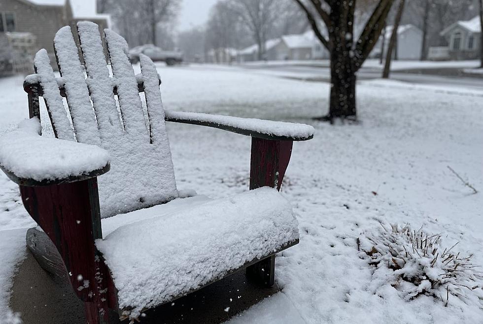
Winter Storm Warning, Weather Advisory in Minnesota
UNDATED (WJON News) -- A clipper system will bring snow to parts of Minnesota this weekend.
There is a Winter Storm Warning in effect for areas along the north shore of Lake Superior. It will be in effect from 10:00 a.m. on Saturday until 6:00 a.m. on Sunday.

Total snow accumulations between 5 and 8 inches. Localized snowfall to 10 inches is possible. Winds gusting as high as 35 mph.
Other parts of northeastern Minnesota will be under a Winter Weather Advisory. It will be in effect from noon on Saturday until 6:00 a.m. on Sunday.

The greatest snow rates are forecast to occur from Saturday afternoon into late evening and may reach 0.5 inches per hour at times. Gusty southeast winds combined with the snow may lead to reductions in visibility.
Stearns, Benton and Sherburne counties have a Special Weather Statement issued by the National Weather Service.
Light snow is expected to move in later Saturday morning. The highest snowfall rates are expected from late morning through early to mid-afternoon. Up to 2 inches of snowfall is expected.


The combination of falling snow and wind gusts up to 35 mph will likely result in reductions in visibility. Drivers should plan ahead for possible slippery travel through Saturday evening.
READ RELATED ARTICLES
- Sky Scraper Once Planned for Downtown St. Cloud
- New Retail Store, Kitchen Coming to Downtown St. Cloud
- Local Podcasters Opens Studio in Downtown St. Cloud
- St. Cloud Gets State Grant for Parking Lot Redevelopment
- New Antique Store Coming to Downtown St. Cloud
LOOK: Relive the ’90s in These Iconic Photos
Gallery Credit: Stephen Lenz
More From AM 1240 WJON


![Marching Bands and Floats Bring Joy To Sartell’s Summerfest Crowd [PHOTOS]](https://townsquare.media/site/67/files/2026/06/attachment-dsc05724-1.JPG?w=980&q=75)