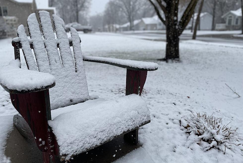
Several Inches of Snow Likely for Central MN Thursday
UNDATED (WJON News) -- Confidence continues to increase in the potential for a band of 3-5" of snow across central Minnesota/into western Wisconsin Thursday morning.

Hazardous travel conditions may develop as a result of the accumulating snow.
Locations along and north of I-94 are favored for the heaviest snowfall accumulations.
As of Tuesday evening, the National Weather Service has issued a Winter Storm Watch for the Red River Valley area in northwestern Minnesota. It will be in effect from Wednesday evening through Thursday afternoon.

More watches and advisories in other parts of the state are anticipated before the snow arrives late Wednesday.
A Special Weather Statement issued by the NWS for all of central Minnesota says confidence continues to increase in the potential for a band of 3 to 6 inches of snow across central Minnesota through western Wisconsin, generally near and north of the Interstate 94 corridor, Wednesday night through much of Thursday.

The timing for the bulk of the snow for the St. Cloud area is just after midnight early Thursday morning (90%) and lasting until about 3:00 p.m. Thursday afternoon (60%). Snowfall rates could reach up to 1 inch per hour overnight Wednesday into Thursday morning.
So far this season, St. Cloud has officially had 5.9 inches of snow. Normally we'd have about 12.9 inches of snow by this point in this season. So, we are 7 inches below normal so far.
READ RELATED ARTICLES
- St. Cloud's Foley Mansion Announces January Tour Dates
- Warmest Fall On Record in St. Cloud
- Major Reconstruction Approved for St. Cloud's Lincoln Avenue
- St. Cloud Establishes Cannabis Ordinance
- Superintendent, Principal Talk Apollo Referendum
LOOK: The most popular dog breeds in America
Gallery Credit: Stacker
More From AM 1240 WJON


![Born In May At Como Zoo This Little Sloth Finally Has A Name [GALLERY]](https://townsquare.media/site/67/files/2026/07/attachment-baby-cusi-sloth-at-como-zoo_original.jpg?w=980&q=75)


