

Southern Minnesota Faces Storm Risk Friday
UNDATED (WJON News) -- Minnesota is not done with the stormy weather pattern just yet.

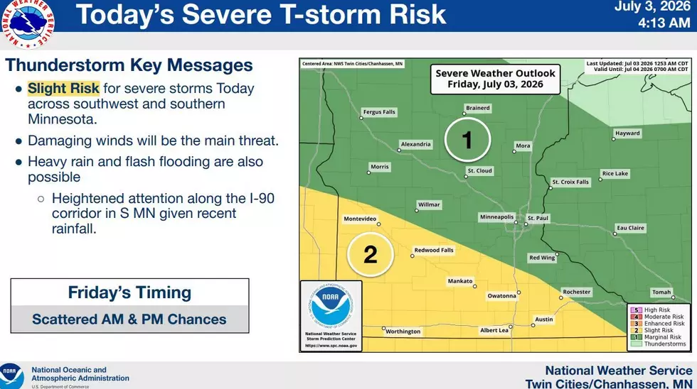
The National Weather Service says more thunderstorm chances will happen on Friday and Friday night. There is a level 2 out of 5 severe risk south of I-94 in Minnesota, with heavy rain possible with any storms as well. The main severe weather risk is for damaging wind gusts.
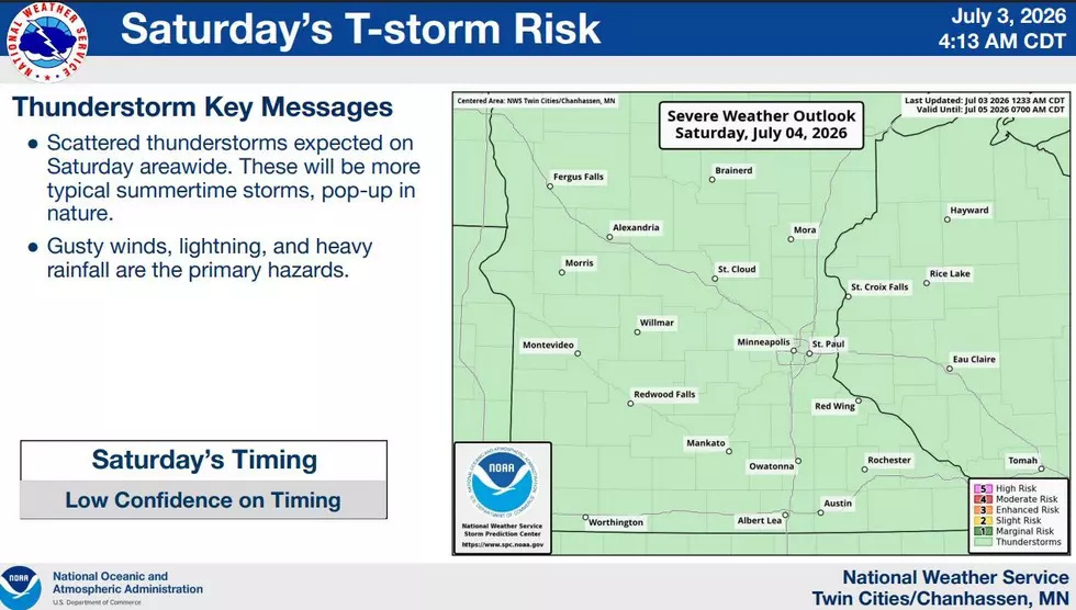
Additional storm chances continue through Saturday night. The threat of severe weather is low on Saturday, though storms will still be capable of producing locally heavy rainfall.
A Flood Watch remains in effect on Friday morning for counties in far Southeastern Minnesota.
For the summer months of June and July combined, St. Cloud has officially received 3.62 inches of rain, which is nearly a half-inch below normal.
The latest weekly update from the U.S. Drought Monitor on Thursday shows a slight improvement, with 71 percent of the state abnormally dry, 30 percent in a moderate drought, and 12 percent in a severe drought.
Humourous St. Cloud Sign
More From AM 1240 WJON