Thunderstorms Sweep Through Central Minnesota, Affecting Multiple Counties
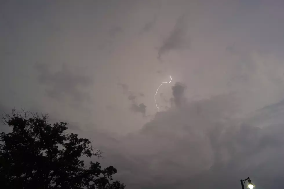
UNDATED (WJON News) -- Another round of severe weather moved through parts of Central Minnesota on Friday night. The National Weather Service issued a severe thunderstorm warning for South Central Benton, Northwestern Sherbure, Southeastern Stearns, and North Central Wright Counties at about 9:15 p.m., and the warning lasted until 9:45 p.m.

The storm was located near Clearwater, moving at about 50mph, and had strong winds, lightning, and golf ball-sized hail. The Ledge Amphitheater in Waite Park had to put the Warren Zeiders concert on hold for about an hour due to the weather and empty the venue.

The system moved through Eden Valley at about 9:05 p.m. and produced large hail and strong winds. Other area cities included in the warning were St. Cloud, Sartell, Sauk Rapids, Becker, Foley, Rockville, Clearwater, Clear Lake, Luxemburg, and St. Augusta.
READ MORE FROM AUTHOR PAUL HABSTRITT:
- Little Falls Schools Make Tough Call To Close Randall Elementary
- New Paynesville Liquor Store Promises More Space And Variety
- Superintendent Rivard Reflects On A Fantastic First Year
- Fireworks Light Up St. Cloud On A Humid Independence Day [PHOTOS]
- Big Changes On The Way For Little Falls Arts Fair
- Turnpike Troubadours Light Up The Ledge Amphitheater [GALLERY]
LOOK: Biggest Tornadoes in Minnesota of the Past Decade
Gallery Credit: Stacker
See the Aftermath of the 1886 St. Cloud, Sauk Rapids and Rice Tornado
Gallery Credit: Brown and Riley, "Cyclone Views: Pictures Sauk Rapids Cyclone" (1886). University and Other Publications. 1.
Staying Cool in Summer Heat
Gallery Credit: Paul Habstritt
More From AM 1240 WJON