
NOAA Puts The Odds Of A Super El Niño At 97 Percent Through Spring 2027
UNDATED (WJON News) -- It is looking more likely that we'll have a Super El Niño this winter.
The National Weather Service's Climate Prediction Center's latest update on Thursday says the El Niño will strengthen through the end of the year, with a 97 percent chance it will persist through early spring 2027.

They say it could rank among the largest El Niño events in the historical record, going back to 1950.
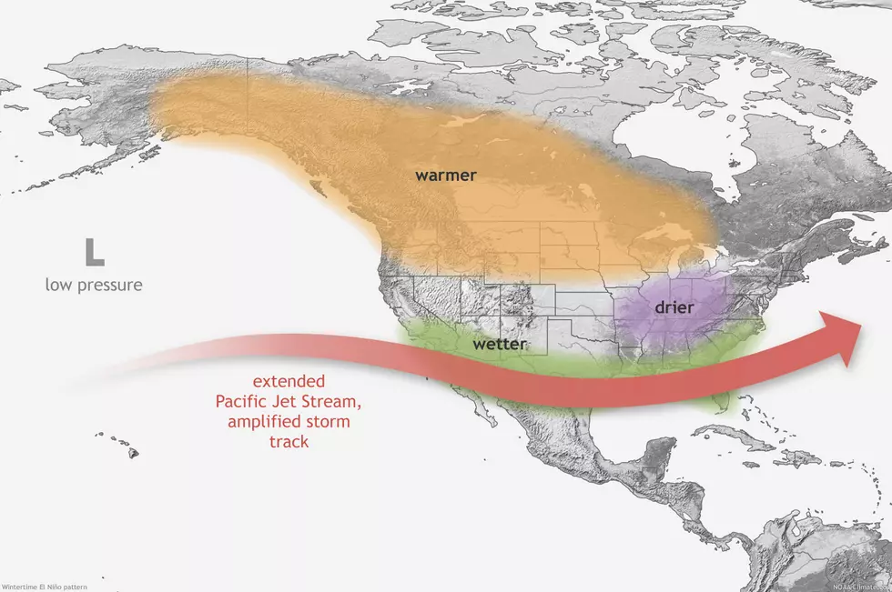
El Niño tends to be strongest during the winter months, and its global impacts are typically most significant in the northern hemisphere winter. During a typical El Niño winter, the jet stream over the Pacific Ocean tends to shift southward, bringing the storm track over the southern tier of the U.S.
For temperatures, El Niño often leads to a warmer-than-usual winter over the northern U.S.
The last El Niño event was from June 2023 to April 2024, which was classified as a strong to moderate event. That winter, St. Cloud had just 31.9 inches of snow.
The National Weather Service says during the 10 strongest El Niños since 1900, the average winter temperature has been either near - or above - normal across the Upper Midwest. Minnesota's warmest winter occurred during the 1997-1998 strong El Niño. Minnesota's 5th and 7th warmest winters on record were also during El Niño years.
While there is a strong signal for warmth during strong El Niños, precipitation can be highly variable. Minnesota's driest and second driest winters happened during El Niño years. But, they've also produced the 15th and 20th wettest.
In Rochester, Minnesota, seasonal snowfall averages during strong El Niños are 42.0 inches, compared to 51.9 inches during a normal season. In Winona, Minnesota, they average 35.4 inches of snow during strong El Niños, compared to 36.7 inches during normal years.
LOOK: The most extreme temperatures in the history of every state
Gallery Credit: Anuradha Varanasi
More From AM 1240 WJON