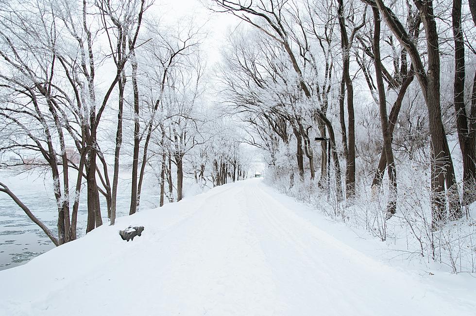
Winter Storm Warning for Much of Minnesota Tuesday, Wednesday
UNDATED (WJON News) -- Much of the state is going to be under a Winter Storm Warning later Tuesday, as we get ready for the first bout of winter weather this season.

The National Weather Service has issued a Winter Storm Warning that will be in effect from 3:00 p.m. Tuesday until 9:00 a.m. on Wednesday.
Rain will increase in coverage on Tuesday morning, transitioning to snow during the afternoon and evening.

Central Minnesota to northern Wisconsin has the best chance to see significant snow accumulation; however, the forecast has generally expanded the snow forecast potential across the area.
National Weather Service Meteorologist Mike Greisinger says a strengthening system is bringing heavy snow across central Minnesota:
"So coming across Elbow Lake, Alexandria, Little Falls up to Brainerd over toward Mora and Hinckley is kind of the region where we're expecting the heaviest snow. And that's kind of like our five- to eight-inch area in there."
Winds will increase as rain turns to snow, resulting in blowing snow and hazardous travel overnight, with gusts as high as 40-45mph.
St. Cloud has had just a trace of snow so far this season. Typically, we'd have about 6.2 inches of snow by this point in the season.
If you have Thanksgiving holiday travel plans over the next two days, you can get the latest road conditions on the Minnesota Department of Transportation website at 511mn.org.
KEEP READING: Get answers to 51 of the most frequently asked weather questions...
More From AM 1240 WJON