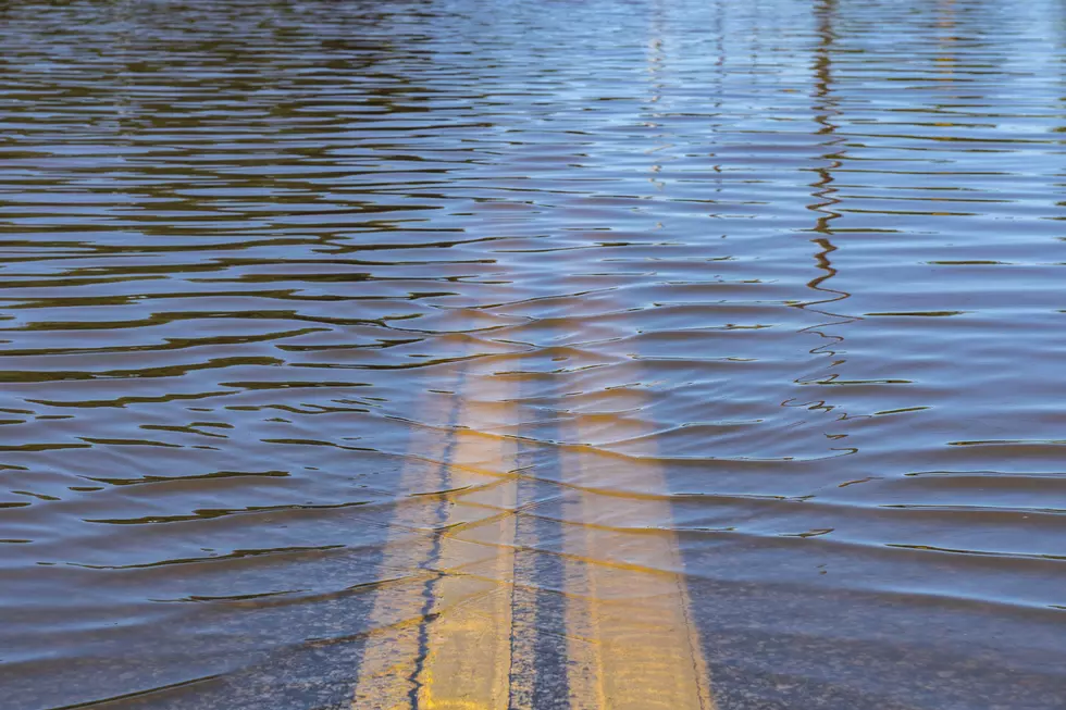
Extremely Wet Conditions Sets Stage for Significant Spring Flooding
UNDATED -- Early indications are we could be in for another bad spring for flooding.
The National Weather Service says we had well above normal rain and snow throughout 2019. The Upper Mississippi River Basin and Red River Basin had their wettest year in 125 years of modern record-keeping.
Meanwhile, there's a lot of snow on the ground, between 10 and 25 inches of snow depth across the region. This snow is holding anywhere from 2 to 8 inches of water within it.
The latest Winter Outlook suggests that odds favor a normal to wetter than normal February through April. We're also expecting cooler than normal temperatures, which could hold onto the snowpack longer into the spring.
Potential impacts of a significant spring flood season include widespread ice jams, delayed crop planting, and travel impacts.
The National Weather Service does caution that there is still a lot of time and factors that need to come together before we know just how bad or uneventful it will be.

More From AM 1240 WJON


