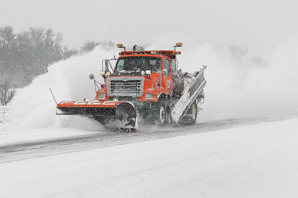
Winter Weather Advisory, Storm Warning for Northern Minnesota
UNDATED (WJON News) -- A day after we hit 50 degrees in St. Cloud, winter returns to the northern part of the state on Sunday. The 50-degree high on Saturday was warm but not record-setting. The record for that date is 53 degrees set in 1939 and 2023.
The northern part of Minnesota will get some snow and some mixed precipitation Sunday.
The National Weather Service has issued a Winter Weather Advisory until midnight Sunday. Total snow accumulations up to one inch and ice accumulations around a light glaze.
Counties along the border with Canada are under a Winter Storm Warning until 6:00 a.m. Monday. Total snow accumulations around 3 to 8 inches and ice accumulations around a light glaze.
A map of northeast Minnesota and northwest Wisconsin of forecast snowfall amounts for today through Monday.
This map shows snow amounts of 1 to 3 inches or less south of U.S. Highway 2 and higher amounts of 3 to 7 inches along and north of the Iron Range.
A second map zoomed in on the Minnesota Arrowhead shows the highest accumulations of 6 to upwards of 12 inches in the higher terrain of the North Shore, particularly in Cook County.
Winter Storm Warnings start this morning for areas of far northern Minnesota where the potential of exceeding 6 inches of snow is highest.
A Winter Weather Advisory is in effect for parts of central Minnesota into the Iron Range starting this morning. In addition to snow, a light wintry mix will be possible, mainly along and south of U.S. 2.
READ RELATED ARTICLES
- St. Cloud's Foley Mansion Open for Holiday Tours
- Caribbean Grocery Store Opens on St. Cloud's East End
- St. Cloud Still Looking for Reimbursement for Trump Rally
- East End Teen Center Looking For New Home
- Clara's House Celebrates 20 Years, Expansion Plans
LOOK: Popular Dinners Americans Don’t Make as Often Anymore
Gallery Credit: Stephen Lenz
More From AM 1240 WJON


