What To Expect From Minnesota’s Thunderstorm Forecast This Week
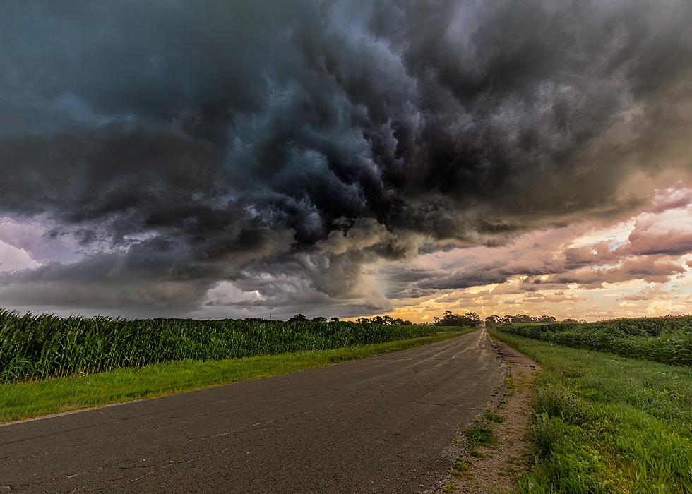
UNDATED (WJON News) -- Isolated strong to severe thunderstorms are possible Thursday night into Friday morning.
The time of the rain looks like it will be late Thursday night, into the overnight into Friday morning.


The National Weather Service in the Twin Cities says isolated thunderstorms will redevelop across portions of the Twin Cities, southern Minnesota, and western Wisconsin on Friday.
Spotter activation may be needed Thursday night and Friday.
St. Cloud could actually use a little rain. Unlike the southern part of the state, we are behind on rainfall totals so far in August. We've had 1.78 inches of rain this month, which is .74 of an inch below normal.
The weekly update from the U.S. Drought Monitor on Thursday shows five percent of the state is Abnormally Dry. There are two dry areas, one in the far northwestern corner of the state, and the other is just south of the Duluth area.
Cooler temperatures and lower dew points are likely behind the front!
Forrest City in Pictures
Gallery Credit: Jay Caldwell, Townsquare St. Cloud
The weekly update from the U.S. Drought Monitor on Thursday shows five percent of the state is Abnormally Dry. There are two dry areas, one in the far northwestern corner of the state, and the other is just south of the Duluth area.
Cooler temperatures and lower dew points are likely behind the front!
More From AM 1240 WJON