Be Weather Aware for Increased Severe Weather Risk Friday Night Across Central Minnesota
Our long hot and dry stretch of summer across Central Minnesota will finally wane, but not before a cold front could bring severe storms across Central Minnesota tomorrow night.
Today will be the seventeenth day with a high temperature of ninety degrees or above this summer, when an average season brings eleven of those days to Saint Cloud. (The most, thirty-six, came back in 1936.)
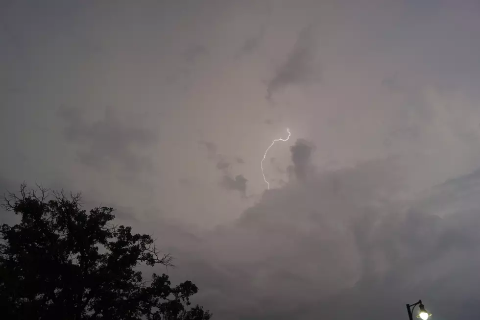
Friday will be another warm one, before a cold front sweeps across the state, bringing an increased risk of severe weather across our area Friday evening into the overnight.


Strong storms are expected to develop late Friday afternoon and evening across western Minnesota, and move east & northeast Friday night.
From the National Weather Service this morning: There is a chance for strong to severe storms late Friday into Friday night across much of Minnesota and far western Wisconsin. Stay tuned to the forecast, especially if you have outdoor plans.
Following the passage of Friday's cold front, much cooler, more season temperatures are expected to settle in across the area with highs in the mid-seventies beginning Saturday and continuing int o next week.
See Crazy Shipping Container House for Sale in Minneapolis
10 Worst Smells Of A MN Summer
More From AM 1240 WJON