Blizzard Warning In Effect in Central Minnesota Thursday Through Saturday
The National Weather Service in the Twin Cities has issued a blizzard warning, in effect Thursday, December 22nd at 6 pm through Saturday, December 24th at 6 am.
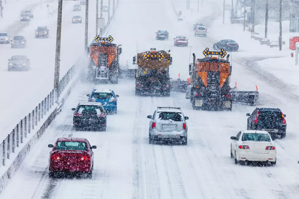
A Winter Storm Warning is in effect area wide through this
evening. Then, a Blizzard Warning goes into effect Thursday afternoon and evening in areas west of the Mississippi River, with a Winter Storm Warning east of the river through Friday night.

Winds will be relatively light through this evening. There should be a break
in severe winter conditions late tonight through early Thursday. Then, strong northwest winds gusting as high as 50 mph and dangerously cold air will surge in Thursday afternoon through Friday night. Whiteout conditions are expected during that time with travel becoming very difficult or impossible. This event could be life-threatening if you are stranded with wind chills in the 30 below to 45 below zero range. Travel plans for late this week should be adjusted now. In addition, heavy snow remaining on trees from the last storm and strong winds arriving could result in tree damage and power outages as temperatures drop below zero.
The National Weather Service is suggesting that travel be limited to emergencies only, and if you must be on the road make sure you have a winter survival kit with you. A reminder that if you are stranded, stay with your vehicle.
Be safe, be cautious, and stay home if you can. It's looking like more of a "white-out" Christmas than just the white one we were dreaming of.
Mansion on the Market in St. Cloud Looks Like a Hallmark Movie Set
Minnesota Mansion Designed By Glensheen's Architect is For Sale
More From AM 1240 WJON