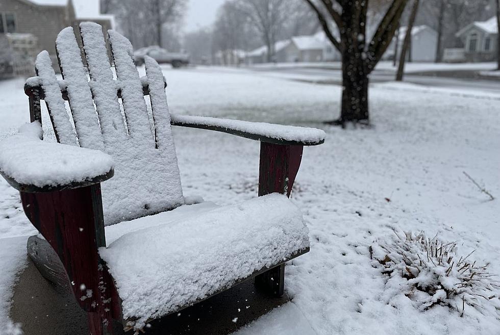
Thunderstorms and Snowstorms in Upper Midwest this Week
UNDATED (WJON News) -- A few stronger thunderstorms will be possible early Tuesday morning and again Tuesday afternoon according to the National Weather Service.
Hail to the size of quarters will be possible across parts of Minnesota and Wisconsin along with locally heavy rainfall.
Central Minnesota is generally expected to see non-severe storms with the strongest thunderstorms to our south and east from the Twin Cities area down to Rochester and into Wisconsin.
Meanwhile, a Winter Storm Watch has been issued. for parts of central and northwestern North Dakota. It will be in effect from late Tuesday through late Thursday.
The National Weather Service says there is a 60 to 80 percent chance of at least a half a foot of snow for that region.

The National Weather Service says between the two systems here in Central Minnesota Wednesday will be mostly dry before entering another wet period Thursday into Friday.
Temps to cool significantly by the weekend.
READ RELATED ARTICLES
- St. Cloud Area Aquatic Center Closer to Reality
- St. Cloud Man Opens Teen Center on East St. Germain
- Second Floor Of Pickled Loon Renovation
- Search for Missing Man Revisted in Staples Area
LOOK: Counties with the most bridges in dire need of repair in Minnesota
Gallery Credit: Stacker
More From AM 1240 WJON


