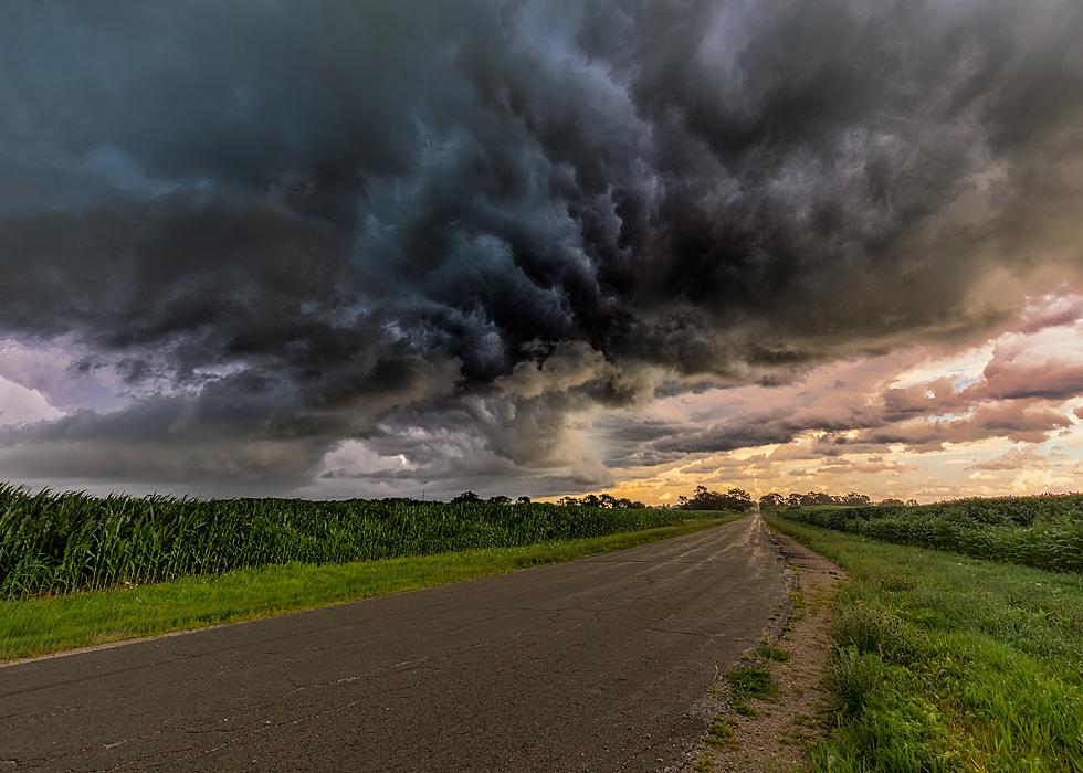
Strong Storms in Part of Minnesota Tuesday Night
UNDATED (WJON News) -- Temperatures will climb to near-record values across central and southern Minnesota and western Wisconsin Tuesday afternoon.
National Weather Service
An incoming cold front will bring the return of rain and storm chances for the middle of the week, followed by a significant drop in temperatures by the end of the week.
The summer-like weather will quickly become more like fall as a cold front moves through the region later Tuesday and overnight.
Here in St. Cloud, we're still 3.34 inches of precipitation below normal for the year to date, so some late-night rain would be welcomed to help ease the drought conditions.

Get our free mobile app
This front will bring cooler temperatures, along with showers and thunderstorms.
READ RELATED ARTICLES
- Gas Prices Fall in Minnesota, Nationally
- Vision for Reimagined Downtown St. Cloud Becoming Clear
- Book Recounts How Teenage Girl from St. Cloud Broke Barriers
- New Mural Being Painted in Downtown St. Cloud
- 5th Annual Rocktoberfest Coming Up in St. Joseph
Come Visit St. Martin, Minnesota with us in Pictures
More From AM 1240 WJON


