Severe Storms Roar Through Central Minnesota Bringing Strong Winds
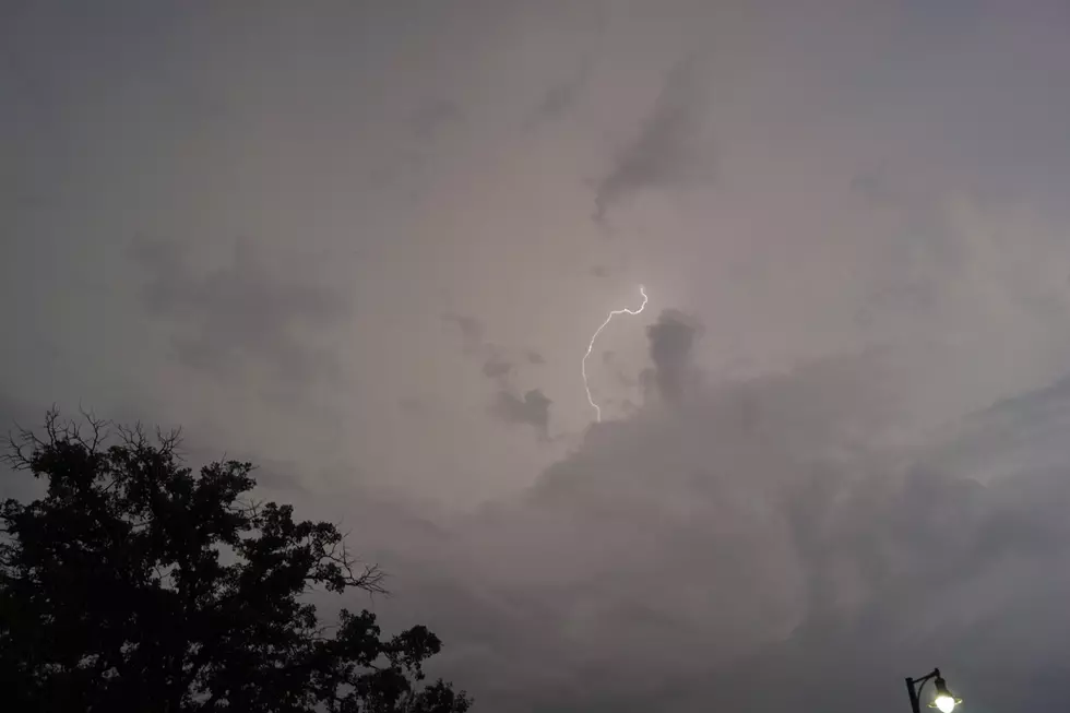
UNDATED (WJON News) -- A round of severe weather moved through parts of Central Minnesota on Monday night. A severe storm moved through Clarissa around 10:20 p.m. with 60-mile-per-hour wind gusts and golf ball-sized hail.

The system moved northeast across the state, moving over Browerville at about 10:25. Then, at about 10:45 p.m., the National Weather Service issued a Tornado Warning for parts of Morrison and Todd County. A severe thunderstorm capable of producing a tornado was located about 6 miles west of Randall. The system had strong rotation with 55-mile-per-hour winds.

The Todd County Sheriff's Office says they had reports of downed trees in the area but no hail, and the Morrison County Sheriff's Office says they only had initial reports of strong winds after the system had moved through.
The National Weather Service also issued a severe thunderstorm warning for the southern part of Todd County until 10:45 p.m., and the northeastern part of Todd County and northwestern part of Morrison County until 11:!5 p.m.

Cities impacted by the storm included Long Prairie, Randall, Motley, and Camp Ripley. The forecast shows a chance for additional severe thunderstorms on Tuesday and Wednesday.
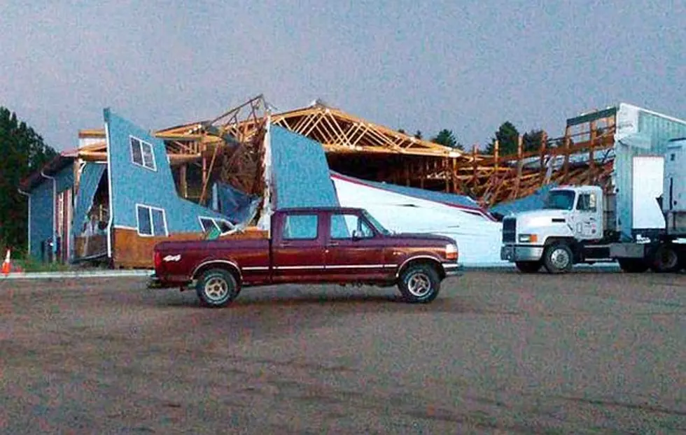
LOOK: Biggest Tornadoes in Minnesota of the Past Decade
Gallery Credit: Stacker
See the Aftermath of the 1886 St. Cloud, Sauk Rapids and Rice Tornado
Gallery Credit: Brown and Riley, "Cyclone Views: Pictures Sauk Rapids Cyclone" (1886). University and Other Publications. 1.
LOOK: Record Fish Caught in Minnesota
Gallery Credit: Stacker
More From AM 1240 WJON