Heavy Rains Could Cause More Flooding In Central Minnesota
UNDATED -- A warm front will lift north across the state this (Friday) afternoon. As a result, showers and thunderstorms will develop this evening. Widespread .75 to 1 1/2 inches of rain will be possible. Some areas could see 1 1/2 to two inches of rain tonight.
A second round of showers and thunderstorms is expected tomorrow (Saturday) night. At this time another 1/2 inch to one inch of rain will be possible.
Total rainfall this weekend could rain from 1-3 inches in Central Minnesota.
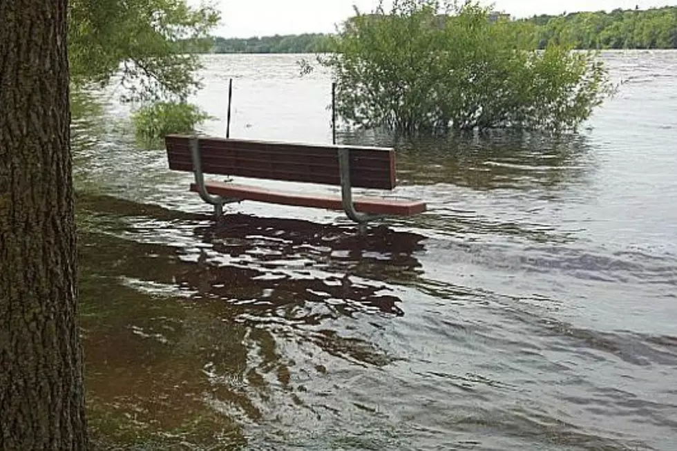
Many area lakes and streams and creeks are already at or near full capacity. Additional rainfall will likely further aggravate the situation and could lead to localized flooding.
Officially the St. Cloud Regional Airport has collected over 4 1/2 inches of rain so far in July -- that's twice as much as normal. And, since June 1st the Airport has had about 7 1/2 inches. Some parts of Central Stearns County have had much more rain than those totals. Here at the radio station, we've collected about 5 3/4 inches of rain so far in July.
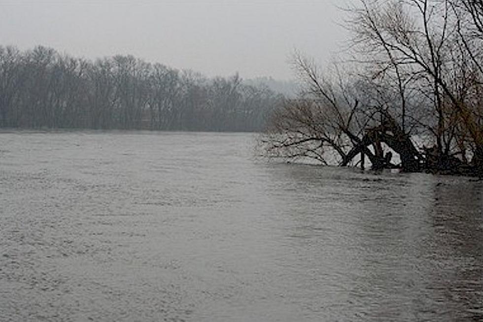
The Sauk River in St. Cloud has been under a Flood Warning this week. That will continue until Monday night.
Several lakes in Stearns and Sherburne County are under a 'No Wake Zone' because of the high water levels.
More From AM 1240 WJON


![Expected Weekend Rain Not Helping Flooded Areas [VIDEO]](http://townsquare.media/site/67/files/2014/06/Flooding-at-Antons.png?w=980&q=75)