
UPDATE: Tornadoes Move Through Central Minnesota, Cause Heavy Damage
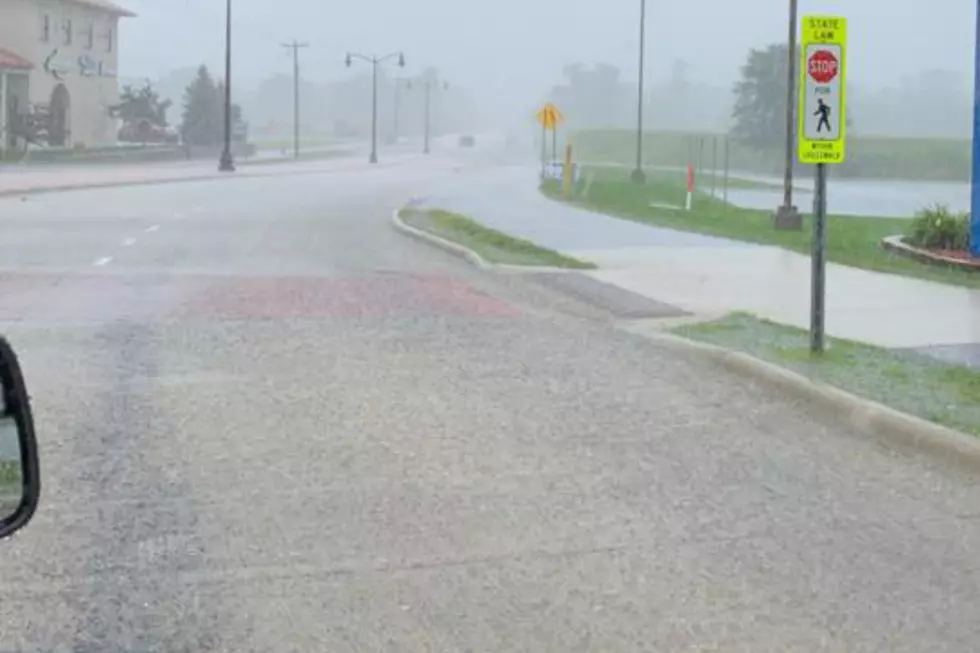
UNDATED -- A strong storm system producing heavy rain and several tornadoes moved through Central Minnesota this (Monday) evening.
At about 5:45 p.m. the National Weather Service issued tornado warnings for Meeker, Morrison, Kandiyohi, Benton and Stearns County.
Trained weather spotters reported tornadoes touching down in Litchfield, Sartell, St. Cloud, and Sauk Rapids. Other areas impacted by the strong storms include Foley, Paynesville, Roscoe, Willmar, Cold Spring, etc.
Stearns County Emergency Management Director Erin Hausauer says areas in Waite Park and Sartell have reported flooding. She adds they are in the process of assessing damage throughout the county.
Meeker County Sheriff Brian Cruze says a tornado struck the northwest side of Litchfield damaging a couple of trailer homes, and he says two other homes will be a total loss.
Cruze says the tornado skipped over town, and then hit the town of Watkins, where it damaged homes and a nursing home. Power was out in northwest Litchfield and Watkins.
Authorities received one report of minor injuries in Watkins.
The National Weather Service says law enforcement also reported a tornado touchdown around 6:30 p.m. Monday three miles east of Rockville, in Stearns County.
The National Weather service says a tornado watch and severe thunderstorm watch remain in effect until 10:00 p.m. for Central Minnesota.
A Flash Flood warning for Eastern Stearns County, Northwestern Sherburne County, Southeastern Morrison County and Benton County is in affect until 11:30 p.m.
The Associated Press contributed to this story.
More From AM 1240 WJON

![Funnel Cloud Caught on Video Near Gilman Monday [WATCH]](http://townsquare.media/site/65/files/2022/05/attachment-Untitled-design-2022-05-10T055242.323.jpg?w=980&q=75)


![Meeker County Sheriff Provides Storm Damage Update [VIDEO]](http://townsquare.media/site/67/files/2016/07/Storm-Damage-1.jpg?w=980&q=75)