Severe Thunderstorms Race Across Much of Minnesota Saturday
ST. CLOUD (WJON News) -- A line of severe thunderstorms raced across parts of Minnesota Saturday night into early Sunday morning.
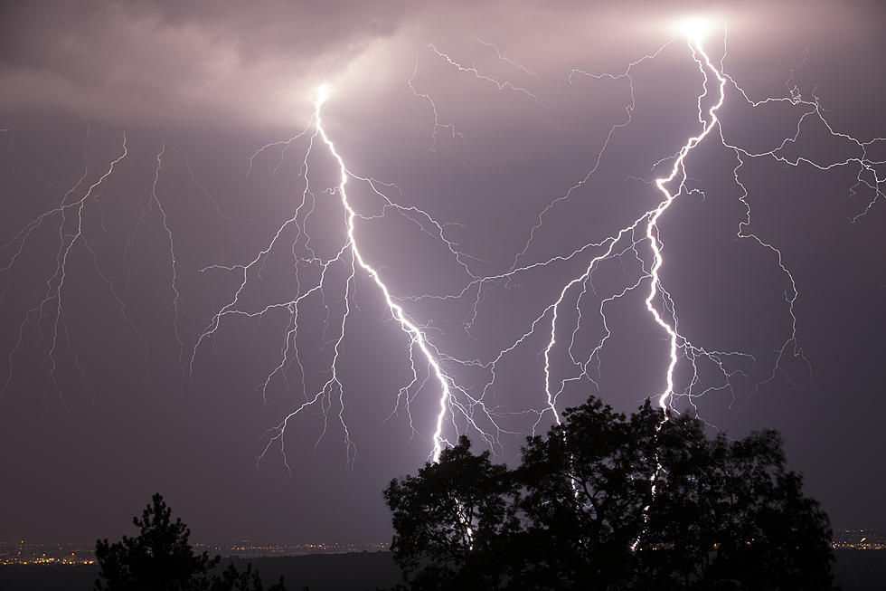
The severe storms developed in northwestern Minnesota, bringing hail, damaging winds, frequent cloud-to-ground lightning, and flash flooding as they worked their way into central Minnesota.
Small hail, gusty winds, and torrential rain moved through the St. Cloud area from approximately 11:00 p.m. Saturday until approximately 12:30 a.m. Sunday.
The line of storms grew as it entered the Tri-County area, prompting a handful of severe thunderstorm warnings on their way to the southeast.
No damage reports were available at the time of this report and no data on wind speeds or hail size were available.
The National Weather Service said the storm cells were capable of producing winds of up to 60 miles-per-hour and hail from quarter-size, all the way up to half-dollar and ping pong ball-size hail. Observations in east St. Cloud indicated hail as large as dime-sized or nickel-sized as the storm pushed through the region.
The heat and humidity return to the forecast for Sunday with temperatures in the upper 80s to near 90 and dew points above 70 degrees.
WATCH: 7 'Carol Burnett Show' Characters Who Still Make Us Laugh
Gallery Credit: Stephen Lenz
Come With Us and Visit Clearwater, MN in Pictures
Highest-Rated Free Things to do in Minnesota, According to TripAdvisor
Gallery Credit: Stacker
More From AM 1240 WJON