Why It Can Still Snow in Central MN When It’s Very Cool
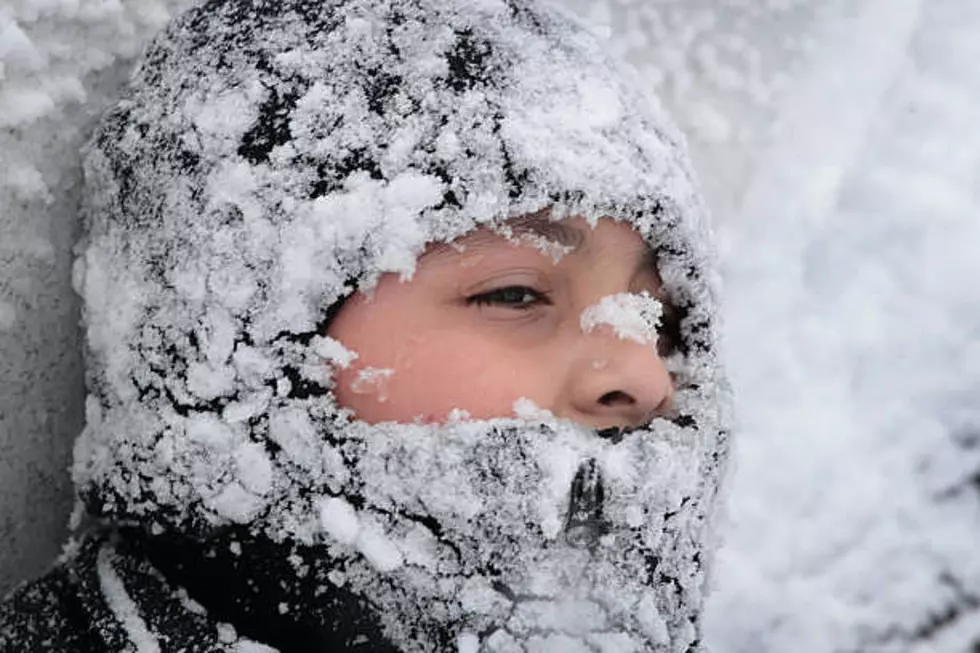
Central Minnesota has experienced and continues to experience dangerously cool temperatures this week. Meteorologist Megan Mulford from the National Weather Service in Aberdeen, South Dakota joined me on WJON. Mulford explains the colder the temperature is means there is less moisture in the atmosphere but that doesn't mean it cannot snow. She doesn't consider snow with sub zero temperatures unusual but that we've been a bit spoiled in recent years because we haven't seen large amounts of snow the last few winters.

Mulford explains the snow we received last week has crusted over due to the cold temperatures in the last week which means with the windy weather expected today and Friday only the newest light fluffy snow will be blowing around. She explains there isn't much difference between a blizzard and white out conditions. Mulford says due to prairie/flat terrain and a lack of trees that makes western Minnesota and the Dakotas more vulnerable to white outs than what Central Minnesota is likely to experience.
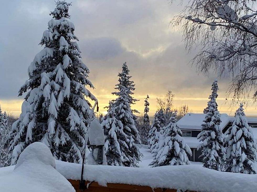
Last week's snow that fell in Minnesota was of the heavy wet variety due to the moisture in the atmosphere. Mulford explains when warmer weather comes in the snow sticks to the rain leading to a much heavier wet snowfall. When colder weather snow happens, like the snow we had this week, there is no rain or moisture for the snow to attach to making it a much lighter snow fall. Mulford says snow ratios at a higher amount are the snow's like we had this week that can blow around a lot easier.
If you'd like to listen to my conversation with Megan Mulford it is available below.
Cozy Up at This New Coffee Shop in Long Prairie
More From AM 1240 WJON