The National Weather Service says there is a Marginal Risk of severe weather late Wednesday night through the overnight hours mainly north of Interstate 94.
The National Weather Service issued a tornado warning at 3:40 p.m. for Benton, Stearns and Sherburne Counties until 4:15 Saturday afternoon. This warning was triggered by a radar detected tornado according to Weather Eye Meteorologist Michael Carrow.
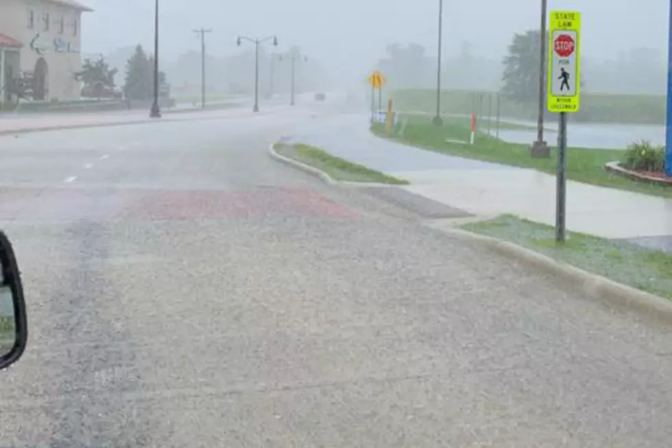
A line of severe thunderstorms pushed through central Minnesota Sunday night prompting dozens of warnings. High winds, hail and heavy rain pounded communities all across the area before moving out of the area at approximately 11:00 p.m.
Gov. Mark Dayton's office is in talks with Minnesota legislative leaders about a special session to provide disaster aid to communities hit by severe storms.
Tornado warnings were issued for Stearns, Benton and Sherburne Counties on Tuesday afternoon and evening. A trained spotter reported a tornado on the ground in western Stearns County near Brooten. There were also several reports of funnel clouds throughout the area.
A storm packing high winds and heavy rain has ripped roofs off homes in the south-central Minnesota town of Elysian. Le Sueur County Emergency Management Director Ann Traxler says the storm swept across Lake Elysian and hit the north side of Lake Francis just after 6:30 p.m. Monday.
Electricity has been restored to nearly all Otter Tail Power customers affected by the severe thunderstorms that blew through northwestern Minnesota early Friday.


![Funnel Clouds, Damaging Hail in Central Minnesota [GALLERY]](http://townsquare.media/site/67/files/2012/05/polly1.jpg?w=980&q=75)