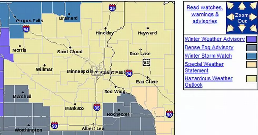
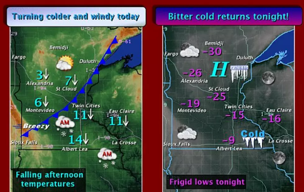
weather

Mixed Precipitation Into Sunday night
The National Weather Service has issued a Winter Weather Advisory until Midnight for all of our listening area. A mix of freezing rain and sleet will transition to mainly snow this afternoon across mainly east central Minnesota and west central Wisconsin.
Wind Chill Advisory Wednesdsay Afternoon, Thursday Morning
The National Weather Service has issued a Wind Chill Advisory from 3:00 p.m. today (Wednesday) through noon tomorrow. Temperatures will fall behind the front to well below zero across central and western Minnesota, with readings hovering within a few degrees of zero elsewhere by evening.
Wind Chill Warning Until 9:00 a.m. Today
The National Weather Service has issued a Wind Chill Warning until 9:00 a.m. on Tuesday. Another cold day is on tap today with highs in the single digits above and below zero. The coldest readings will be found north of I-94.
UPDATE: A Wintry Mix This Weekend
The National Weather Service says A gloomy Saturday is in store as an area of low pressure moves across southeast Minnesota. For the most part, temperatures have warmed above freezing across the region, except for along the South Dakota border, where an ice storm is expected to unfold through at least the morning for Lac Qui Parle and western Yellow Medicine counties.

Load More Articles